Pakistan is a country that has beautiful scenic views, historic buildings, and an abundance of natural resources. There are majestic mountains, incredible coastal beauty, lush green plains, meadows, and beautiful rivers. Rivers are not only the primary source of drinking water but are also used in irrigation and hydropower generation. Hence, for establishing any stable economy, rivers are crucial.
Originating from the snow-covered Himalayan and Karakoram mountain ranges, Pakistan’s river system is yet another fantastic natural aspect. The system is based on five major rivers that run through the entire country and meet in the Punjab province. It is often called ‘Panjaab’ (panj means five, and aab means water). The five rivers of Pakistan are Jhelum, Chenab, Ravi, Sultej, and Indus.
Pakistan is blessed with these fantastic rivers, and to know more about the major rivers of Pakistan, keep on reading.
River Indus
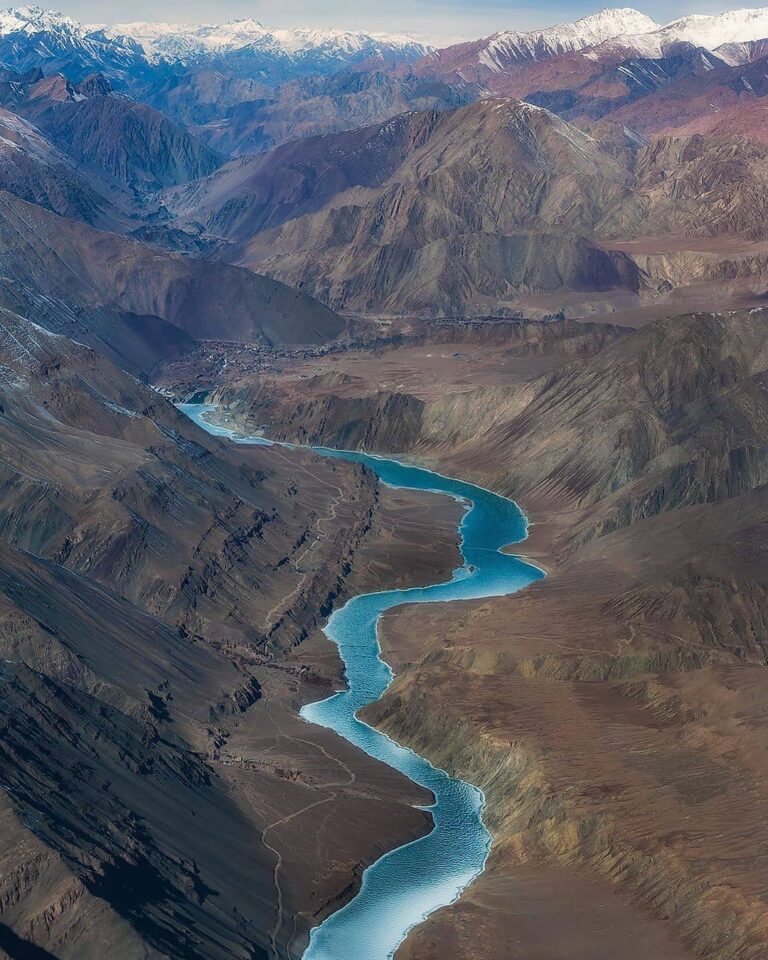
The Indus River is the longest River in Pakistan and the country’s national River, originating from the Himalayan region. With a total length of 3,180 kilometers, it is also Pakistan’s lifeline, providing water for irrigation and industry and being a significant source of hydroelectric power.
Indus River originates from the Tibetan plateau near Lake Mansarovar in China. It then runs through Jammu and Kashmir, enters the Gilgit-Baltistan (formerly Northern Areas of Pakistan) region, flows through the entire country, and merges with the Arabian Sea. The Indus River fulfills the water requirements of Pakistan and is the primary support for agriculture. The main tributaries of the Indus are the Astor River, Balram River, Gilgit River, Kabul River, Tanubal River, and Zanskar River.
The other name of the River Indus is the Sindhu River. Ancient Persians called the Indus River Hindu, and ancient Indians called it Sindhu; both peoples referred to it as “the boundary river.” It is Asia’s largest River. The River traverses Pakistan, Ladakh, and western Tibet in China. Before joining the Arabian Sea, the River travels through India’s Ladakh region and into Gilgit-Baltistan.
To read More about the Beautiful Mountain Ranges of Pakistan, explore this Link.
River Jhelum
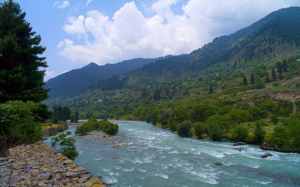
River Jhelum is located in northern India and eastern Pakistan and passes through the Kashmir Valley. It is a tributary of the Chenab River and has a total length of about 725 kilometers (450 mi). Tributaries, including the Poonch, Kunhar, and Neelum rivers, feed the Jhelum River. The River originates from a spring in Verinag, Jammu, and Kashmir. It flows through the Vale of Kashmir before emptying into the Indus River near Muzaffarabad. It also connects with the rest of Pakistan and Pakistani Kashmir at the Kohala Bridge east of Circle Bakote. It is then joined by the Poonch River and flows into the Mangla Dam reservoir in the Mirpur District.
The Jhelum River is an essential water source for irrigation and has been used for transportation since ancient times. The Mughal Emperor Akbar had a canal to connect the River with Lahore.
River Chenab
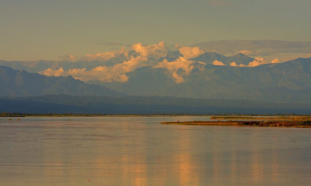
The Chenab River is one of the six major rivers that flow through Pakistan. River Chenab, just like River Jhelum, is split between India and Pakistan. The Chenab River originates in the Himalayas in the Indian-administered state of Jammu and Kashmir. It flows south through the Kashmir Valley, eventually joining the Indus River near Lahore. Jhelum and Ravi join Chenab, Beas enters Sutlej, and then Sutlej and Chenab join to form Panjnad near Uch Sharif. The combined stream runs southwest for approximately 45 miles and joins the Indus River at Mithankot. The Indus continues into the Arabian Sea. The Chenab is one of the longest rivers in Pakistan, with a length of approximately 1,200 kilometers.
The Chenab River basin is home to a large number of people. It provides water for irrigation and domestic use for millions living in its basin. The River also supports a thriving fishing industry.
The Chenab River has been an essential route for trade and travel for centuries. In recent years, the construction of dams and canals has helped to provide hydroelectric power and irrigation water to Pakistanis living in the river basin.
River Ravi
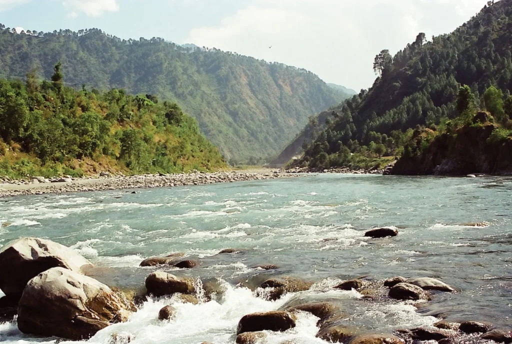
River Ravi originates in the Himalayas, like many other rivers of the region. After it flows through the southwest part of Indian Punjab, it moves along the Indo-Pak border, enters Pakistan, and merges with Chenab. It is located in the northeastern country and flows through the Punjab province.
The Ravi River is one of the tributaries of the Indus River. It has a length of about 860 kilometers and a drainage area of about 55,000 square kilometers. Under the Indus Water Treaty, the waters of River Ravi were allocated to India. Similarly, the Indus Basin Project transferred waters from the western rivers of the Indus system to replenish the Ravi in Pakistan.
The waters of the Ravi River drain into the Arabian Sea (Indian Ocean) through the Indus River in Pakistan. The River rises in the Bara Bhangal, District Kangra in Himachal Pradesh, India. The River drains a total catchment area of 14,442 square kilometers (5,576 sq mi) in India after flowing for 720 kilometers (450 mi).
The Ravi River is considered one of the most important rivers in Pakistan because it provides water for irrigation and serves as a source of drinking water for millions of people. The River also supports many fish species, and it plays a vital role in the vegetation in Pakistan.
River Sutluj
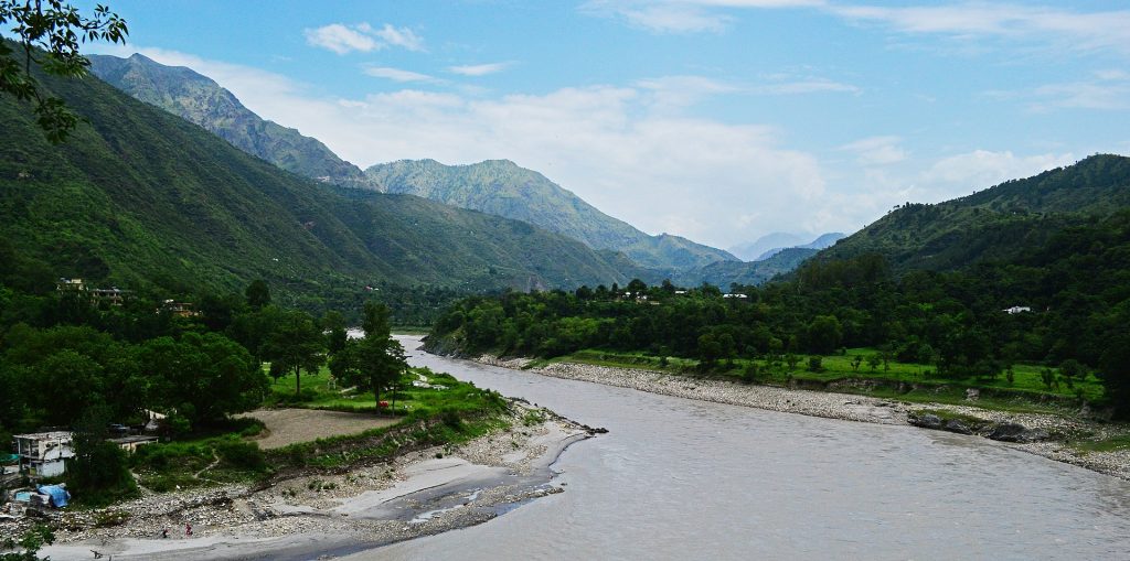
River Sutlej is Pakistan’s longest River flowing from the Punjab province. It is a transboundary river located in northern India and Pakistan. Sutlej flows through the historic crossroad region of Punjab in northern India and Pakistan. It is located north of the Vindhya Range, south of the Hindu Kush segment of the Himalayas, and east of the Central Sulaiman Range in Pakistan. Some 550 kilometers long, Sutlej is also called the Red River.
The waters of the Sutlej are allocated to India under the Indus Waters Treaty between India and Pakistan. The River’s annual flow is around 14 million acre-feet (MAF) upstream of the Ropar barrage across the Sutlej River downstream of the Bhakra dam.
River Sutlej is significant for Pakistan due to its role in hydroelectricity generation. River Sutlej accounts for many hydropower projects in Pakistan. The projects include the 1,325 MW Bhakra Dam, the 1,000 MW Karcham Wangtoo Hydroelectric Plant, and the 1,500 MW Nathpa Jhakri Dam.
So, these are the major rivers in Pakistan. Pakistan is an agricultural country, and farming and crop cultivation are part of agriculture. Rivers play an important role as the Indus River and its tributaries irrigate the whole Punjab and Sindh Plain areas. River helps Pakistan to stand economically. Dams and Barrages built on rivers also helped store water that could be used during seasonal droughts or for producing electricity. Pakistan can generate 7000 MW of Electricity from a potential of 60000 MW of Hydel power. Fishing is also a source of income that can only be possible through the presence of rivers.
Moreover, River enhances the natural beauty of Pakistan, which attract Tourists. The river bankside can be the best place for picnics or leisure time. Pakistan is blessed to have this natural beauty of Rivers, which enhances its beauty and the income of Pakistan.

